Division 04
Public Safety & Defence
One clear situational picture for safety and defence.
We develop software that brings scattered sensor data together into one clear situational picture and coordinates multiple units — the decision always stays with people.
Introduction
From scattered sensor data to one clear picture
During an incident there is rarely too little information — there is too much, spread across cameras, reports and systems. Our software brings those streams together into a single picture an operator grasps at a glance.
The emphasis is on perception, coordination and decision support for people. The programme is developed within the Belgian and European legal framework, together with authorised partners.
Working domains
Where the software is deployed
Four domains where perception, coordination and autonomy come together.
 01
01Coordination centre
Real-time operational overview for teams deploying robots, sensors and autonomous systems across critical sites and risk-sensitive environments. BELTH software brings perception, status and field feedback together into one usable picture.
 02
02Aerial observation
Autonomous or assisted aerial observation for inspection, site overview and rapid assessment above industrial and critical environments. Suited to monitoring, quick reconnaissance and visual support for operational teams.
 03
03Critical infrastructure
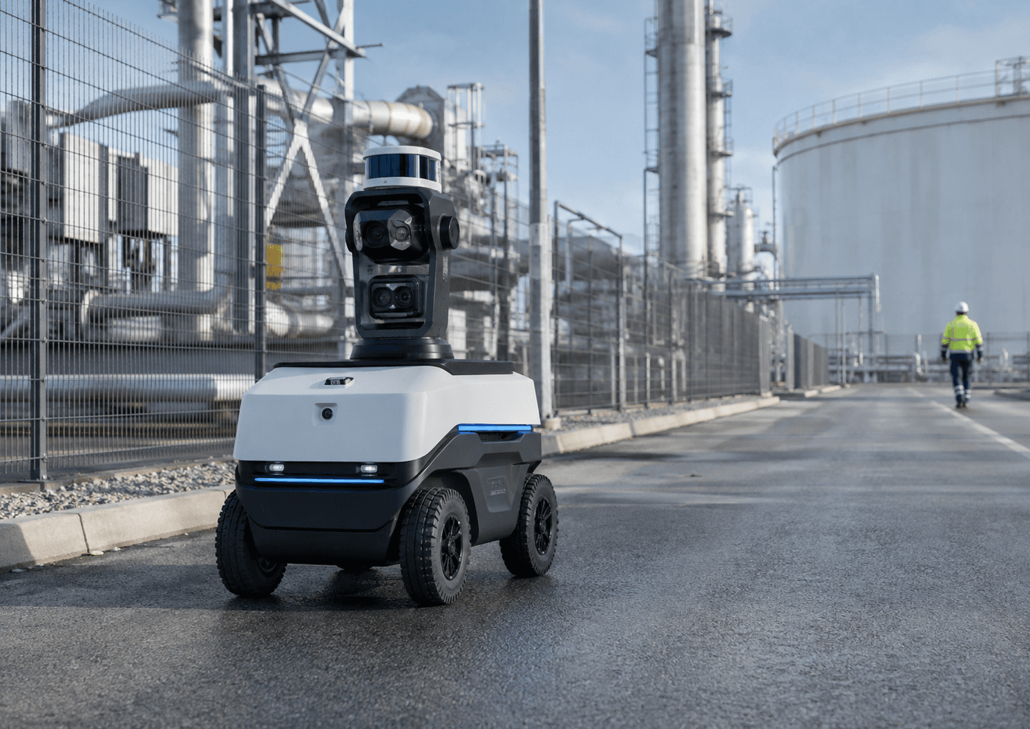
Autonomous inspection and monitoring around industrial installations, technical sites, energy environments and other infrastructure where continuous situational awareness matters. The software supports safe navigation, perception and field reporting in complex technical zones.
Field support
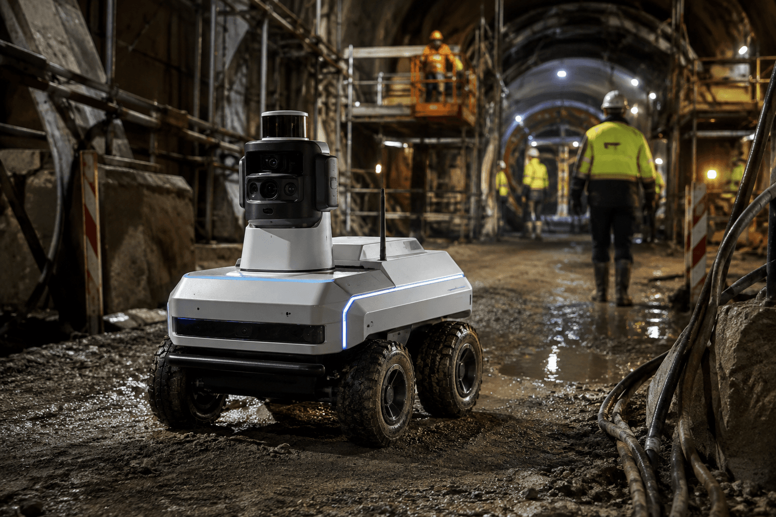
Support in hard-to-reach, technical or risk-sensitive working environments where autonomous systems add reach, presence and mobility. Suited to inspection, observation and backing up teams on active works or incident sites.
Operational contexts
Where this lands in practice
Environments with a lot of ground to cover, limited staff and a standing need for overview.
 01
01Incident support
During an incident the software builds a picture of what is happening while crews are still taking position. On-site perception and the status of deployed assets come together, so command is not steering on radio traffic alone.
 02
02Gates, terminals and access control
At gates and terminals, vehicles, loads and paperwork follow each other at pace. Autonomous observation keeps a continuous record of what passes and flags anomalies without slowing the flow.
 03
03Perimeter monitoring
Rounds along fence lines, site boundaries and access roads, at night and in poor weather too. Movement in sensitive zones is detected and followed up, with fewer false alerts than fixed cameras produce on their own.
 04
04Public buildings
Presence and observation in lobbies, corridors and public areas outside office hours. An operator can watch and follow up remotely instead of keeping someone permanently on site.
 05
05Public events and crowd environments
Standing up temporary overview across entry zones, queues and the area around a site, then taking it down again afterwards. Stewards and security teams get eyes on the zones nobody is standing in at that moment.
Software stack
Six modules, one situational picture
From raw sensor data to a decision a person makes.
- 01
Perception
Bringing together and interpreting camera, radar and telemetry data.
- 02
Mapping
Projecting everything onto one current map of the area.
- 03
Planning
Proposing options for deploying the available units.
- 04
Coordination
Dividing tasks across multiple units and tracking execution.
- 05
Operator interface
One clear screen that gives an overview instead of alerts.
- 06
Safety & audit
Encrypted data flows and full recording of every action.
How it works
From signal to human decision
Four steps, with a person at the end of the chain.
- 01
Perceive
Sensor data and reports come in from different sources.
- 02
Understand
The software filters out noise and builds one coherent picture.
- 03
Advise
The system proposes options, with the reasoning attached.
- 04
Human decision
An operator chooses and acts; every step is recorded.
Development status
Where the project stands today
We are open about what is finished and what still lies ahead.
- 01In place
Software architecture
The structure from sensor fusion through to operator interface is settled.
- 02In progress
Simulation and test environment
We test sensor fusion and coordination on simulated scenarios.
- 03Next phase
Integration at a system integrator
The next phase: connecting our layer to existing operational systems.
- 04Partner wanted
Government and research partners
We are looking for partners with mandate, terrain and experience in this domain.
Software and system architecture in development, together with hardware and integration partners. Development takes place within the applicable Belgian and European legal framework.
Collaboration
Four ways to work together
Every track starts small and concrete.
- 01
Software licence
You license our situational awareness software.
- 02
Joint development
We develop an application together for a concrete need.
- 03
Integration into existing systems
We connect our layer to your operational environment.
- 04
Pilot project
A scoped test with a government or integration partner.
Build this system with us
We are looking for integrators, government partners and research partners for joint development.